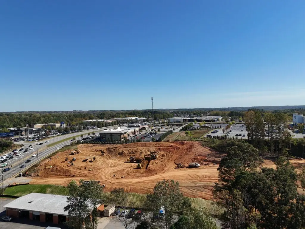
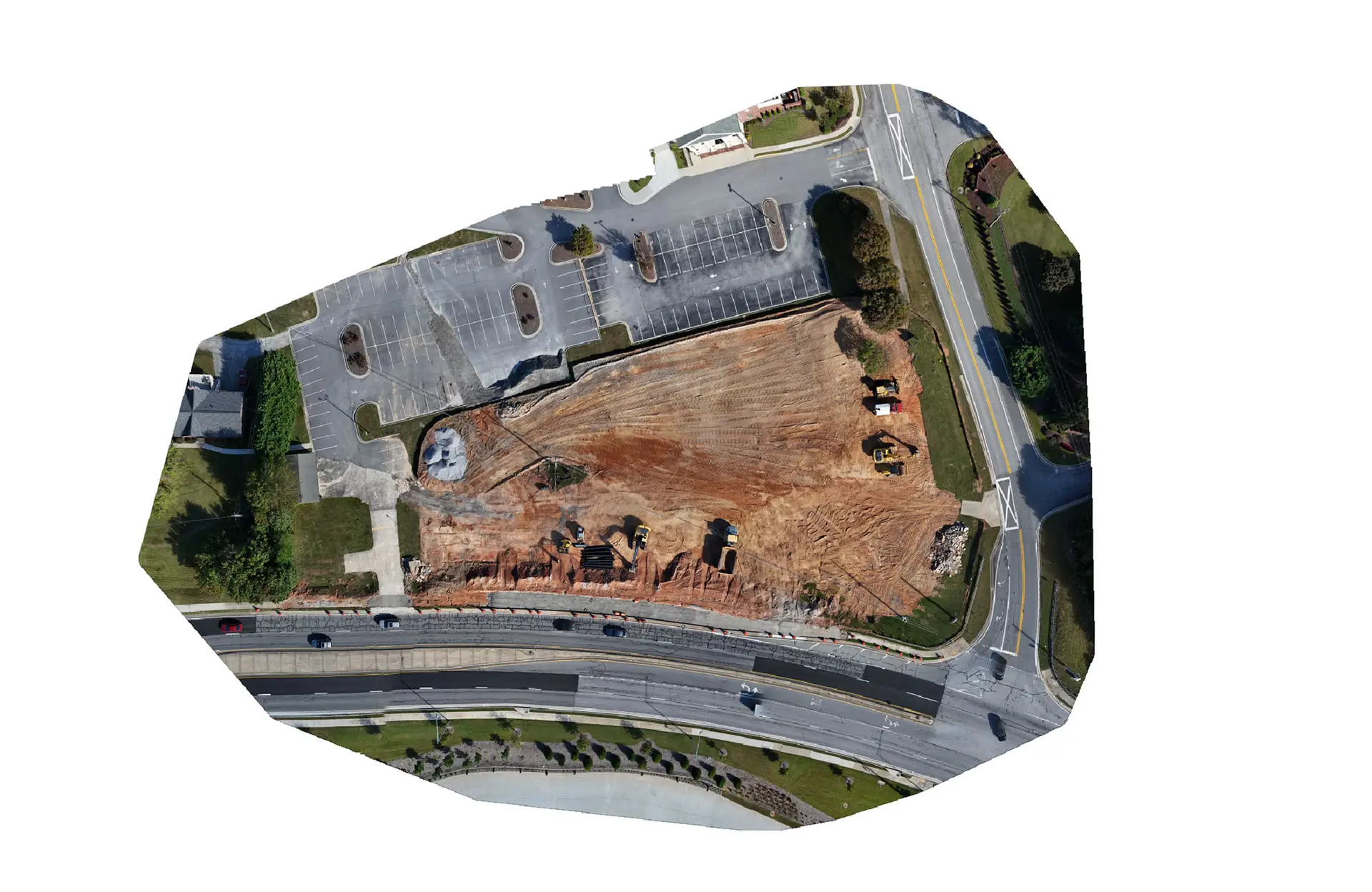
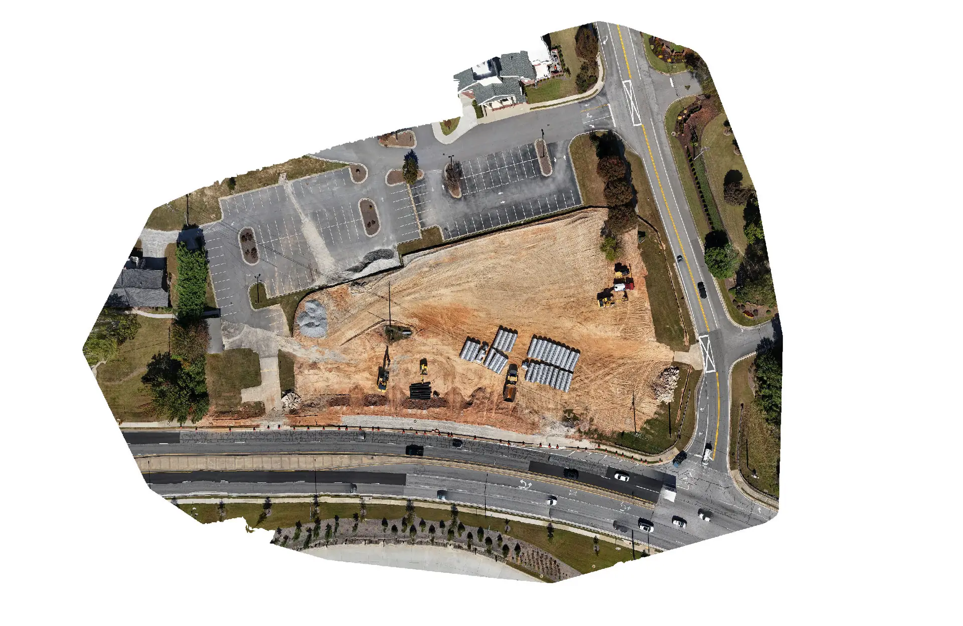
You don’t have to be on the job site to know what’s happening.
With My Build Progress, you get high-resolution aerial images, detailed videos, and precision-mapped models that show your project’s growth from the sky — giving you the insights you need without leaving your office.
•Day to Day, Week to Week, or Month to Month — capture every stage of development
•Still Images, Video, and 2D Orthomosaic Models — complete visual clarity
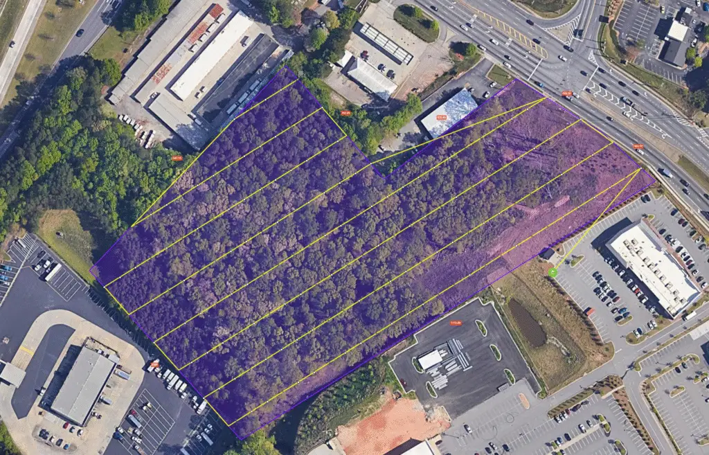
Using advanced drone mapping technology, we record a custom flight path during your first site visit — then replicate that exact path during future sessions.
This ensures every image, video, and model perfectly aligns with your previous captures, making it easy to:
•Compare progress over time
•Measure material movement and site activity
•Share accurate updates with investors, partners, and clients
Whether you want day-to-day, week-to-week, or month-to-month progression, your story stays visually consistent.


From the sky to your screen, My Build Progress delivers clear, actionable visuals:
•2D Orthomosaic Maps — analyze material piles, equipment movement, and terrain changes in moments
•3D Site Models — explore your site virtually from any angle
•Timelapse Sequences — watch your entire build evolve in seconds
We turn raw drone data into a complete visual record of your construction journey.
